
3/12 | Windy to End the Week, Eying Storm System This Weekend
- Patrick Murray

- Mar 12
- 3 min read
Today has started off rather mild, with temps in the mid 30s across the area at the time of writing this forecast discussion. A tightening pressure gradient this afternoon in association with a strong area of low pressure across the northern Great Lakes region will result in windy to very windy conditions across the Stateline this afternoon/evening into tomorrow. Currently forecasting gusts upwards of 45-55 mph, with some areas (especially those closest to Lake Michigan) having the potential to see gusts upwards of 60 mph. WIND ADVISORY goes into effect tonight for the entire area, with the exception of McHenry County, who is under a HIGH WIND WATCH, which will likely be upgraded to a warning with the afternoon/evening forecast cycle.
Showers are likely tonight across the entire region along the nose of an incoming upper-level jet stream. Lapse rates become fairly steep above 600 mb after midnight tonight as forcing intensifies, thus the chance for a few lightning strikes can't be ruled out completely. This intense surface low will eventually drag a cold front through the region sometime around daybreak Friday. Thanks to thermodynamic profiles across the region, can't entirely rule out some snow/graupel squalls along the cold front Friday morning.

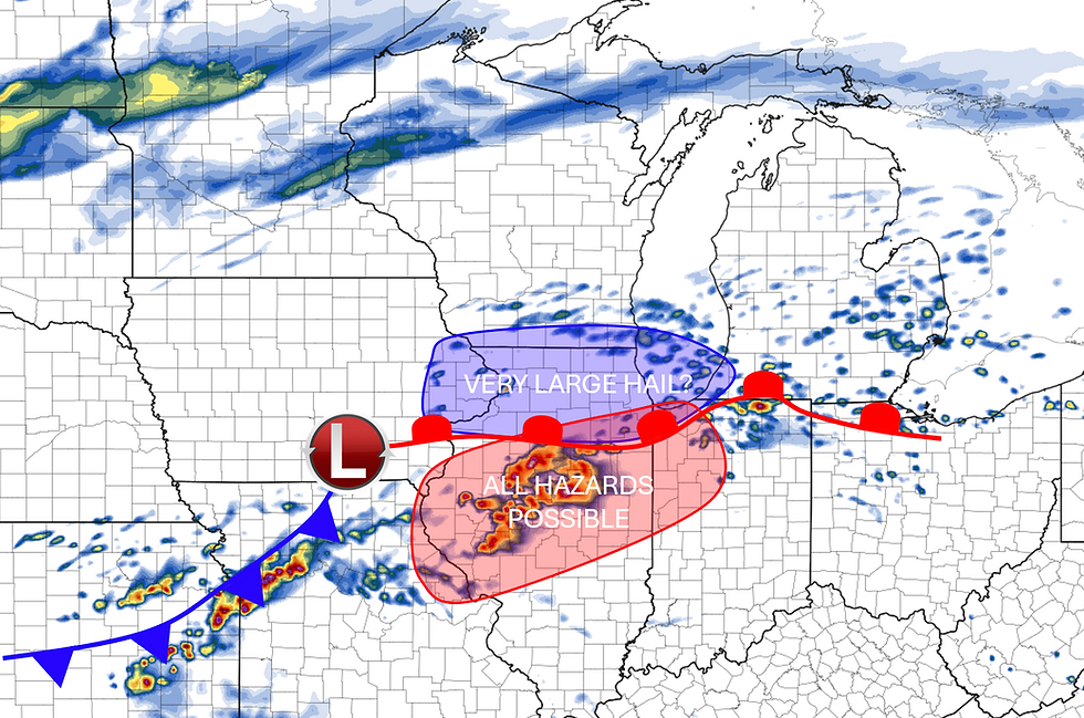
Attention then turns to this weekend with the potential for another active stretch of weather. This could include the potential for both strong to severe storms (mainly along and south of I-80) and accumulating snow, as well as the potential for strong to very-strong non-thunderstorm wind gusts.
Model guidance continues to come into better agreement regarding the evolution of a shortwave trough across the central Plains Saturday night into Sunday. Intensifying warm air advection will result in frontogenetically-enhanced precipitation early Sunday morning. At this time, model guidance continues to suggest that most of the precip should focus north of the Wisconsin state line, but there will be some potential for a snow/rain-snow mix across northern Illinois Saturday night.
After that, a break in the action is possible as the frontogenesis zone propagates northward and a deepening surface low tracks somewhere just north of Kansas City, MO. Guidance is still a bit all over the place regarding the track of the surface low across our area. Some models have it remaining just south of the Stateline, some track it over the Stateline, and some have a more northwesterly path. Will continue to monitor and see exactly where it tracks in future updates. Need to watch the potential for the warm front to move north towards the I-80 corridor for the potential of some strong to severe thunderstorms across far southern parts of the area (nothing like on Tuesday).
Eventually, the surface low will push north and east of the area, funneling in much colder air from the north and west. Northerly winds sustained of upwards of 20 mph will also be possible. The trend in guidance for accumulating snow potential in our region Sunday night into Monday is increasing as a result. NWS is monitoring this potential closely, as conditions would likely reach blizzard criteria thanks to strong Northerly wind gusts combined with potentially heavy snow.


A much colder airmass will descend on the region through Tuesday as this storm system pulls away. Much quieter conditions look to develop locally with moderating temps throughout the end of the week.

Comments